By Guest Blogger: Derek Toth - Communities in Schools CharlestonThe Teen Health Leadership Program (THLP) is in their eight year of existence at St. John’s High School on Johns Island. The program gathers leaders of the school together and focuses on a health topic they feel is affecting their community and assists the community in understanding this topic through the use of media dissemination. In the past, topics included Autism, Cancer, Stress, Obesity and Alcohol and Drugs and This year, the students wanted to look at their community as a whole with a topic of Environmental Health.The THLP students wanted to see what makes their Sea Island community different. The Sea Islands are composed of John’s Island, Wadmalaw Island, Seabrook Island and Kiawah Island outside of Charleston, South Carolina. Students primarily come from John’s and Wadmalaw Islands. These islands are extremely different for many reasons. The students wanted to be able to translate these differences in a new form for the Teen Health Leadership Program. The students were presented with an opportunity to use the Community Health Mapping tools discussed on this blog, and some training made available from the National Library of Medicine. With GIS, the students can pin point differences within the islands for their community to see.(This January Kurt Menke conducted a Community Health Map training at the Medical University of South Carolina College of Nursing. Two teachers with Communities in Schools Charleston attended and the next afternoon Kurt Menke went to St. John's High School and showed the students how to map their campus with their iPhones.) 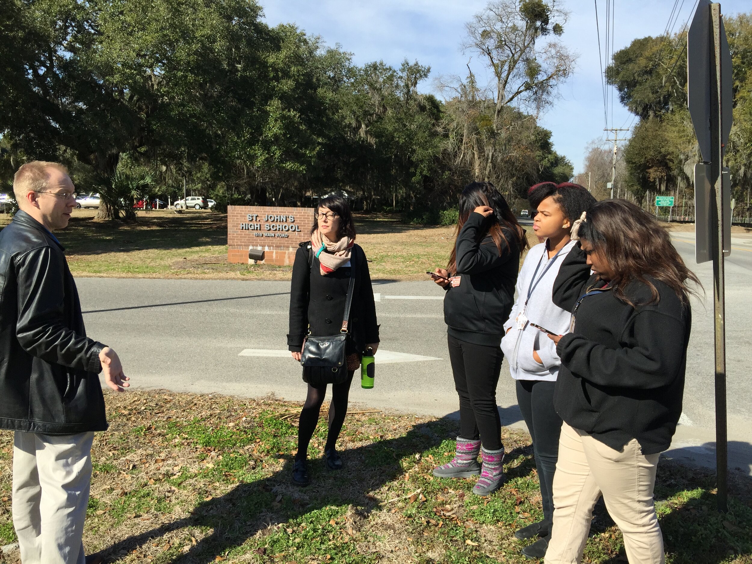 The students used smart phones, along with an app named iForm, to map points of interest with GPS. They collected well water locations, ground and city water sources, as well as, places in the community to purchase food. The food resources they mapped included farmers markets, produce stands, grocery stores and local farms. The students were able to indicate these points on a map. Google maps was used to create the final map.With the final map they were able to determine that people on Wadmalaw Island have less access to food and water than those on St. John's Island. For example, Wadmalaw Island is limited in places to buy produce or groceries, and has limited access to the farms that John’s Island has. Residents of Wadmalaw Island are on well water, and obtain their produce at the local grocery store on Johns Island, as opposed to driving to one of the many local farms.
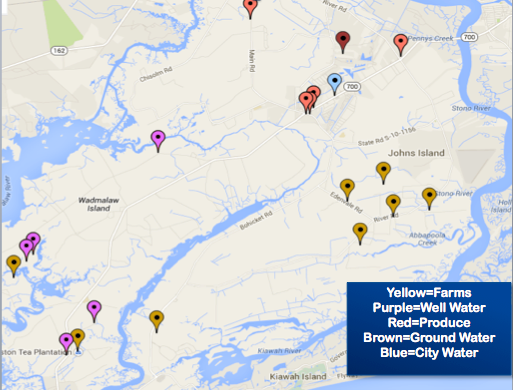 The final map was inserted into the Environmental Health project for the community to have a unique perspective of their Sea Island Community. Overall, the students felt that using their smart phones to map their community was easy to learn and fun. They were able to grasp the information quickly and seemed pleased with their results. The group feels it reached it’s goal of accomplishing a fresh look at the Sea Islands and felt it added to their presentation on Environmental Health.