
It's an exciting month for QGIS. On February 23rd there will be a major new release of QGIS: QGIS 3.0. We haven't had a major new release since 2013 when 2.0 came out. The development team has been working on this for a solid year. This version will be faster and have a lot of new features. Kurt Menke has been closely following the development of QGIS3. Over the last few months he has been experimenting with the pre-release version (v2.99). This post will cover some of the highlights that will be useful to Community Health Mappers. In general QGIS is going to be faster, more powerful and more efficient to work with. First off QGIS 3.0 comes with a new logo!![]() Overall the look of QGIS is very similar. There are the Layers and Browser panels to the left, a Map Canvas and lots of buttons and menus above. However, upon closer inspection there are a lot of very useful changes. For example, instead of there being a row of add data buttons down the left side, there is now a Unified Data Source Manager button which opens up a browser.
Overall the look of QGIS is very similar. There are the Layers and Browser panels to the left, a Map Canvas and lots of buttons and menus above. However, upon closer inspection there are a lot of very useful changes. For example, instead of there being a row of add data buttons down the left side, there is now a Unified Data Source Manager button which opens up a browser. The Unified Data Source Manager can be used to access the myriad of data formats QGIS supports and add them to QGIS. This includes vector, raster, database, web services etc. You can even browse within Esri File Geodatabases. Any GIS layer you are interested in, can then be added to QGIS by dragging and dropping it onto the map.
 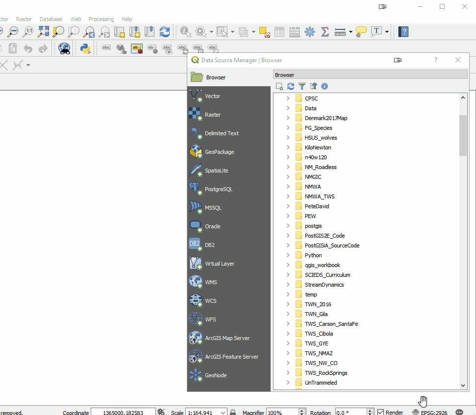 The Processing toolbox was completely redesigned and many tools were rewritten. This means many are now faster, more flexible and stable. There are also many new tools that didn't exist in QGIS v2.x. Additionally processing tasks also now run in the background. This means you don't have to stop working while a tool runs! Yet another new processing feature is that layers in different projections will automatically be reprojected, so there is no need to reproject beforehand.
 Map Labels: It now much easier to edit labels. Previously you had to set up attribute columns and set those as data defined overrides. If you don't know what all that means, it's OK. Now all you have to do is simply put the layer into edit mode and edit labels with tools on the Label toolbar. Maps also now redraw more quickly due to cached label renderers.
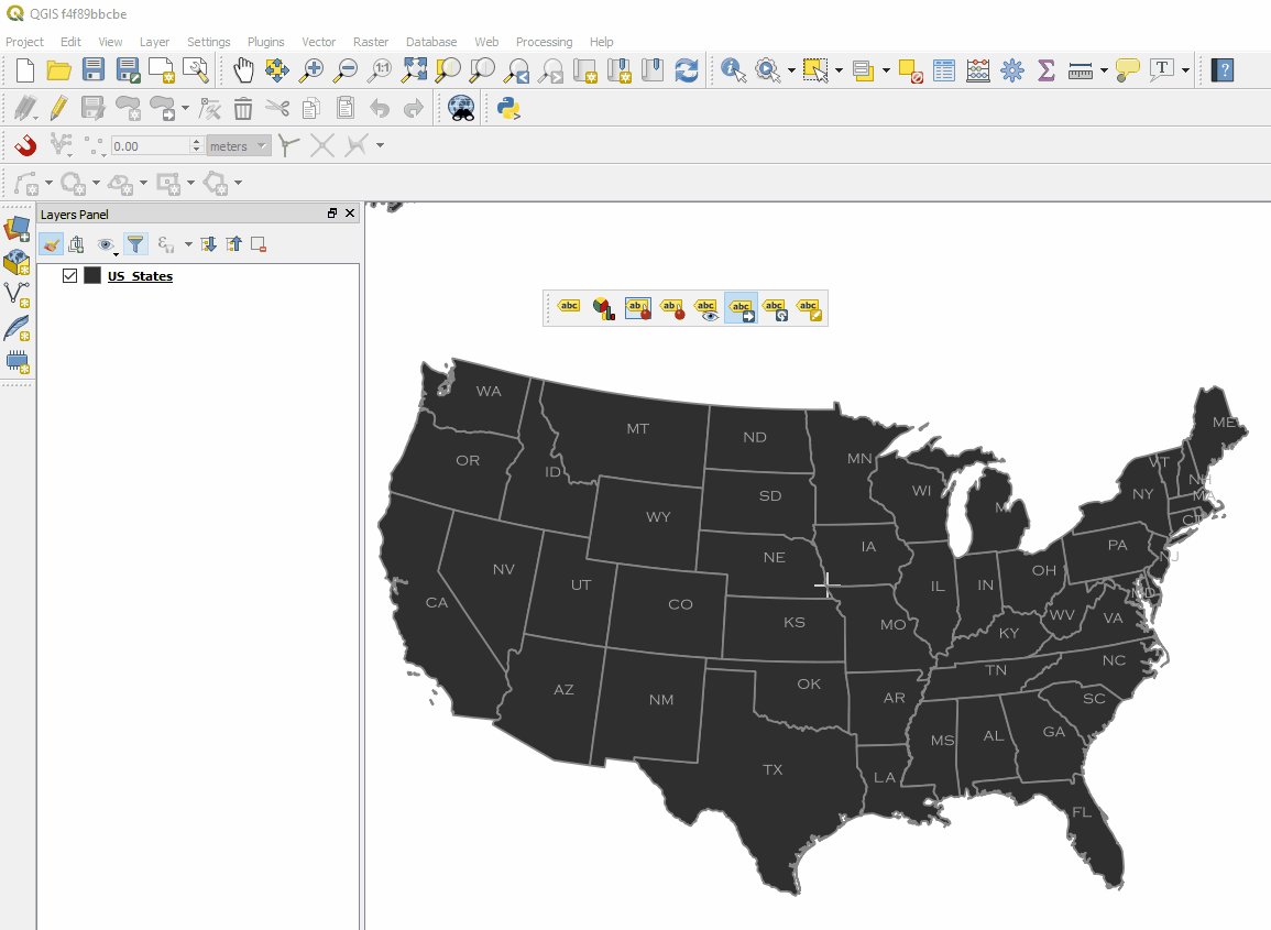 There is now a Search bar in the lower left corner that can be used to search for map layers, features and processing tools. This makes finding things in QGIS quick and easy.
 The QGIS print composer was completely redesigned. They are now referred to as Layouts. Map insets can now be in a different map projection than the main map. There is a new and improved system of guides which include settings in any unit of measurement you could want (mm, cm, m, in, ft, pt, pica, pix). There are new controls for choosing fonts which include recently used fonts. When you export a map, a link to the folder shows up making it easy to track down the exported map.
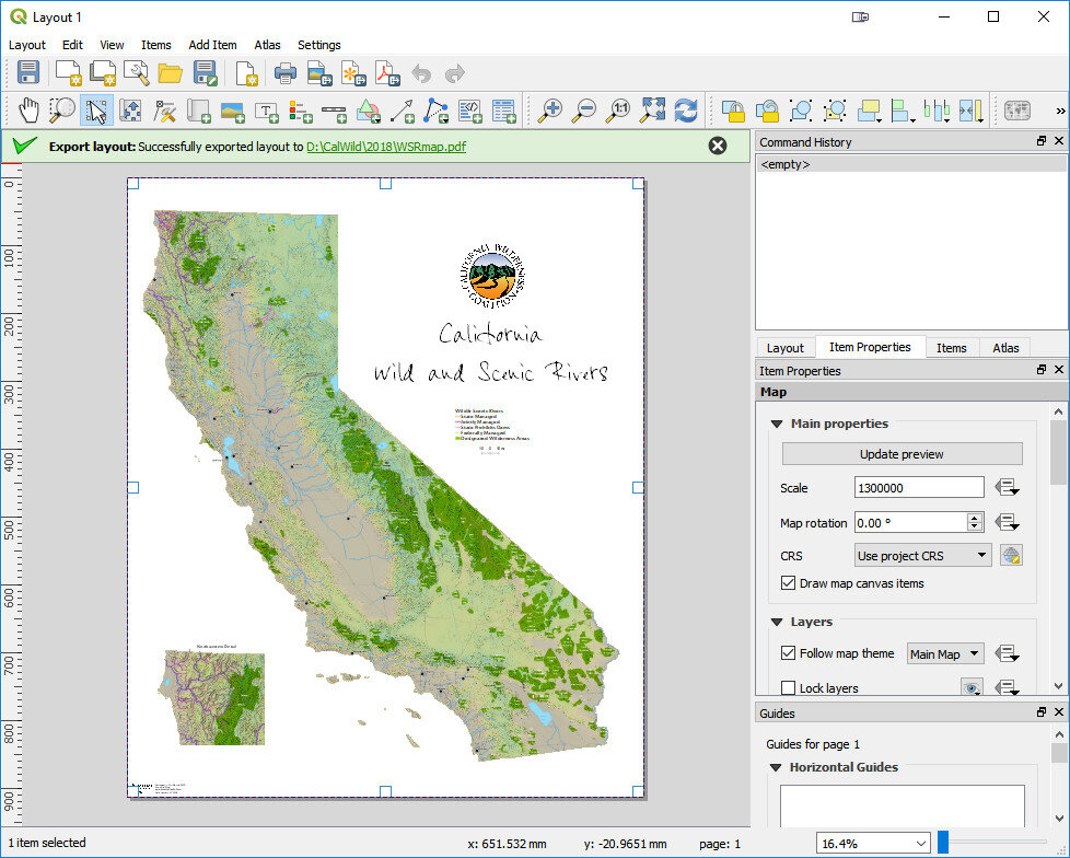 Other notable enhancements include:
- A fully integrated 3D environment
- Editing improvements including: a) widgets for layer attributes, b) CAD style digitizing tools that allow you to create perfect rectangles, circles, ellipses etc. and c) a new node editing tool with a lot of behavior improvements
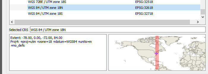
- Previews of where each map projection can be used. This will be a big help for beginners!
- User profiles that allow you to set up QGIS with different panels, plugins and toolbars for different projects or uses.
- Improved hidpi/retina support
Where do you go from here?
- 2.18 will be considered the supported long-term release (LTR) through June.
- When 3.0 is released in a few weeks it will be considered the latest stable version.
- 3.2 will become the LTR in June when it is released.
- Starting on February 23rd you will be able to download and install it. Remember you can have multiple versions installed with no conflicts. I encourage you to install it in a few weeks and begin to explore it! You won't want to go back.
NOTE: QGIS 3 projects won't be entirely backwards compatible with QGIS 2.x. So if you are going to open an existing project in QGIS 3, be sure to click Project -->Save As and save a new verion of the project for use in QGIS3.