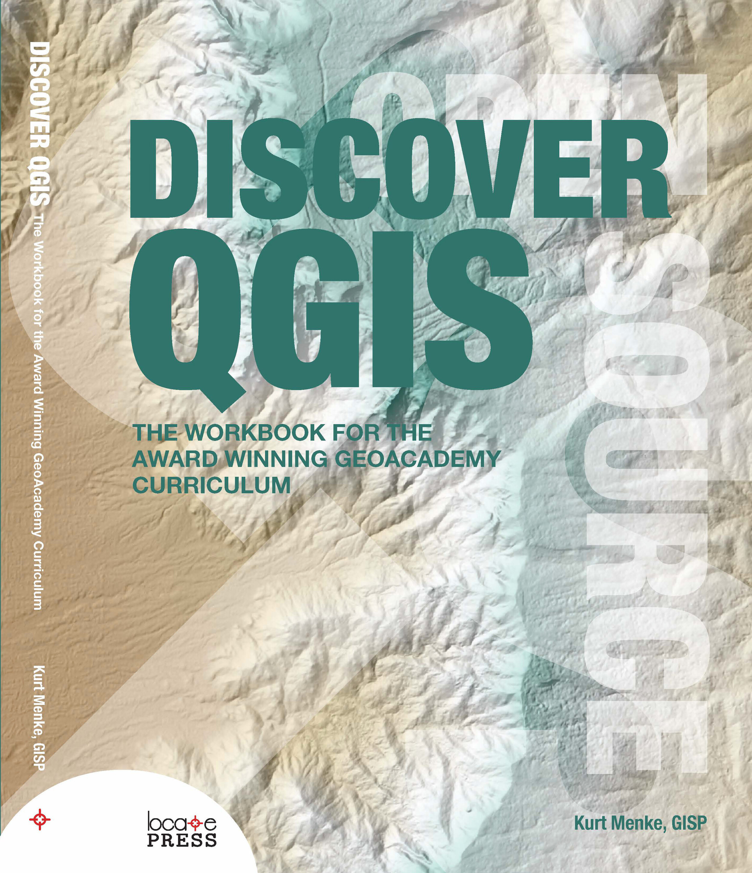
Two years ago, myself and several colleagues authored the GeoAcademy which is the first ever GIS curriculum based on a national standard – the U.S. Department of Labor’s Geospatial Competency Model (GTCM). The GTCM consists of the knowledge, skills and abilities needed to be a working GIS professional. Our team was honored with the 2015 GeoForAll Educator of the Year award for this effort. The GeoAcademy consists of 5 complete college courses.
- Introduction to Geospatial Technology Using QGIS
- Spatial Analysis Using QGIS
- Data Acquisition and Management Using QGIS
- Cartography Using QGIS and InkScape
- Remote Sensing Using QGIS and GRASS
This winter I converted the curriculum to fit into a convenient workbook format with Locate Press. The workbook is called Discover QGIS.As you may be aware, QGIS is evolving rapidly. A new version is released every 4 months! Due to this rapid development pace each spring a long-term release (LTR) is created. The LTR version is supported for a calendar year and is better for production environments. Originally written for QGIS 2.4, the GeoAcademy material in this workbook has been updated for use with QGIS 2.14 LTR. It therefore represents the most up-to-date version of the GeoAcademy curriculum. In addition to working with QGIS, it also includes exercises doing analysis tasks with the powerful GRASS GIS software, both alone and via the GRASS QGIS plugin. The cartography section includes exercises with InkScape. Here you'll learn how to begin a map in QGIS and use InkScape to finish a publication quality map.At the moment the digital version of the workbook is available as a Preview Edition for only $24.99. Purchasing this preview entitles you to the full version when it is released. There are just a few formatting issues to resolve.This book will be a great resource for Community Health Mappers wanting to build their skills. The 470 page workbook comes with exercise data, challenge exercises and solution files!