The third step in the workflow (outlined in the Introduction) is to share your maps online via GIS Cloud. This is an online mapping platform. You can sign up for a free account, upload your data, and share your maps with others. The maps will be dynamic, meaning you can do things like pan and zoom, turn layers on and off and identify features.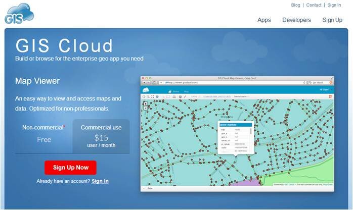 PricingYour free account comes with a Map Viewer and Map Editor and gives you 100Mb of space in your cloud account. If you require more space you can upgrade to Premium subscription which offers 1 Gb of space. Premium accounts cost $55/month.Data UploadGIS Cloud accepts all common GIS file formats and the data upload section is very intuitive. You can zip all your data and just upload the zip file and GIS Cloud will take care of the rest. You can even drag and drop files anywhere in the browser and they will upload to your account. Once uploaded it offers a nice range of options for symbolizing your data.
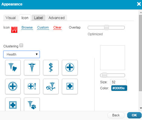 Map EditorHere you have a variety of tools available including those for data editing, feature selection, basic analysis, table joins, geocoding addresses. It even has a database manager. You can create new layers in your cloud account and edit them here. With the analysis tools you can compute areas, measure proximity of one feature to another, buffer a layer by a certain distance, and create density maps.
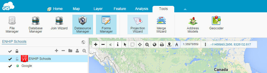 Map ViewerHere your data can be viewed against basemaps such as Google and OpenStreetMap. Your map can also be shared and published. There are several ways to share your maps. The two easiest methods are to provide the link to your map, or embed the dynamic map in a web page. Clicking the Share and Publish button opens the window below. Here you are provided the url to your map viewer and the javascript for embedding the map into a webpage. I would have embedded a dynamic map here, however, WordPress does not allow bloggers to post JavaScript on WordPress.org blogs. You can also share your map with other GIS Cloud users by Publishing the map. Click on the image below to open up the ENHIP Schools in a GIS Cloud Map Viewer window.
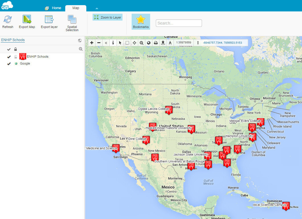 ResourcesOur Resources page has a GIS Cloud document that covers uploading data, styling data and sharing a map.There are additional online mapping platforms such as CartoDB and MangoMaps. We found GIS Cloud to be the best combination of being intuitive yet powerful. However, all three options have free licensing levels. So you can try them yourself and decide which works best for you. These other options will be covered in future posts. Happy mapping!