By John Scott (CPSC)In June 2016, a Community Health Maps (CHM) symposium was convened by the Center for Public Service Communications and Health-Equity.Org. It was hosted by the National Library of Medicine and held at Lister Hall on the grounds of the National Institutes of Health campus in Bethesda, Maryland.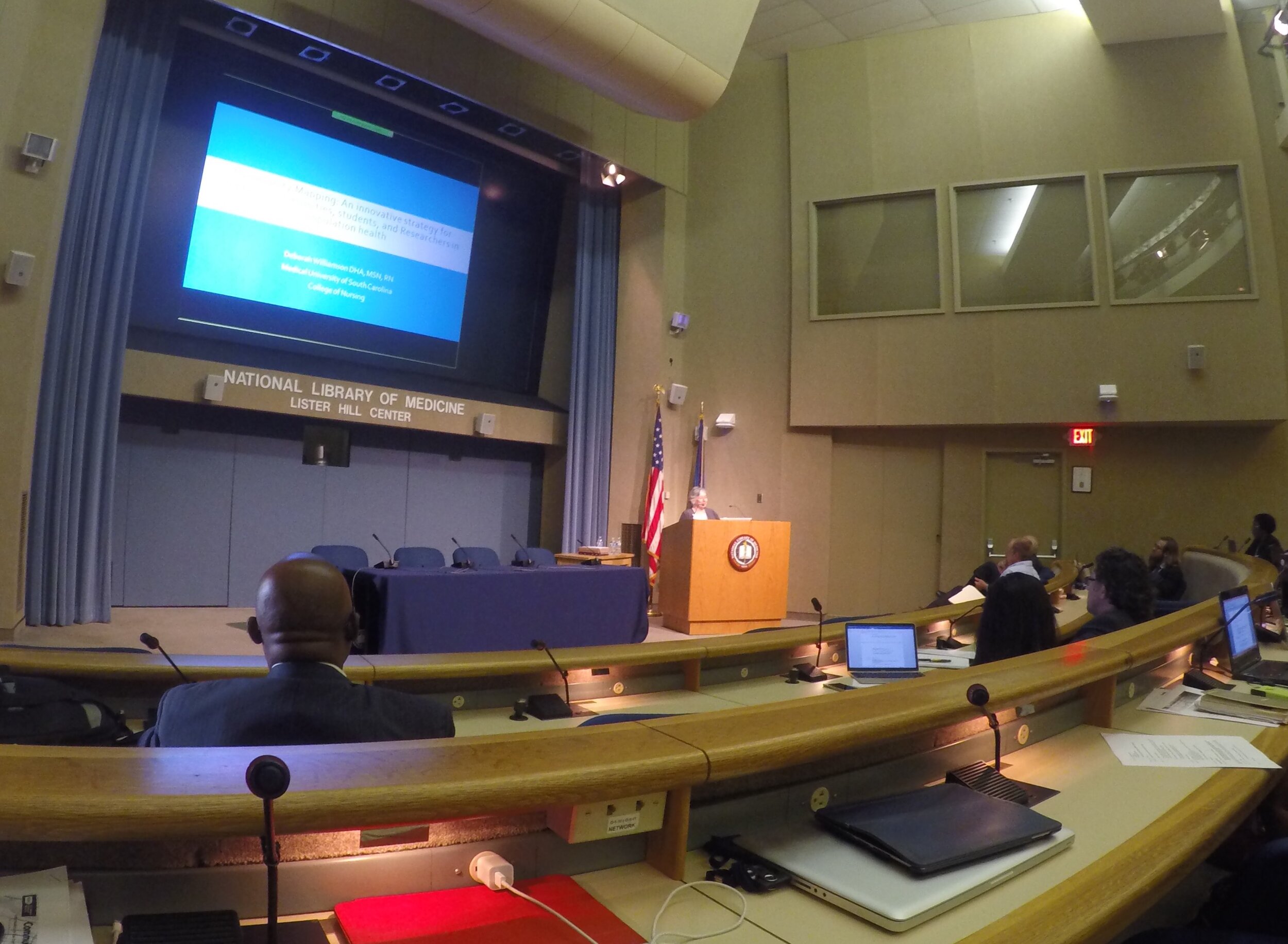 The relevance of the CHM initiative to NLM’s mission has to do with improving the ability of community-oriented organizations (and researchers and other public health professionals) to collect, organize and visualize data and other health information to better-understand health conditions and support decision-making for resource allocation. While access to quality health information is frequently a focus of attention, the ability to visualize data and information -- to better understand and portray their significance to the community -- has received less attention. This is in part because the availability of affordable GIS platforms and data collection and visualization applications is relatively recent. Historically, the cost to procure platforms and applications, to train users and to sustain operations has been prohibitive for communities and community-based organizations whose health budgets are already strained.The purpose of the workshop, therefore was to share the CHM workflow with community-based and minority health organizations so that they would be in a better position to serve their populations by knowing how to collect and maintain their own data, rather than -- or at least in addition to -- having to rely solely on national/state agencies or majority-institution partners to provide data to them.Participating were seventy-six community-oriented health professionals who were drawn from throughout the country. The workshop was made possible with funding by the Robert Wood Johnson Foundation. During the workshop several Community Health Mapping pilot projects were highlighted, including:
- Obesity research at the University of Hawai’i School of Medicine’s Department of Native Hawaiian Health
- Research on noise pollution at the Seattle Indian Health Board/Urban Indian Health Institute
- Projects including a youth initiative measuring community water quality
- Smoking cessation
- Access to health care by migrant workers
- Building a zika awareness curriculum at the Medical University of South Carolina
- University of Washington School of Public Health graduate student capstone projects featuring the CHM workflow.
- Mapping Curb Ramp Accessibility around a Silver Spring, MD Assisted Living Facility
- Visualizing an Intervention for Tobacco Control
- Teens Map Environmental Health of Their Community (Sea Islands, South Carolina)
Kurt Menke, of Bird’s Eye View GIS, and CHM partner, also offered training in the use of CHM tools in five parts:
- Introduction to Community Health Maps
- Learn to use Fulcrum to build a data collection form
- Exercise using data collection form to collect data around the conference center
- Mapping data collected during previous exercise online in Carto
- Brief introduction to mapping the data in QGIS
Learning Objectives for the training session were:
- Describe the Community Health Maps workflow which includes low-cost and open resources for community mapping and data visualization.
- Create a data collection tool on a mobile device that can be used to collect community data.
- Learn how to map data collected online in and on the desktop.
Workshop participants were also introduced to the recently developed set of six online “labs”:
- Field Data Collection
- Bringing Field Data into QGIS
- Combining Field Data with other Organizational Data
- Basic Spatial Analysis
- Cartography with QGIS
- Data Visualization with Carto
These labs are now available on the Community Health Maps Resources page. Other highlights of the workshop include a keynote presentation by Dr. John P Wilson, Professor and Director of the Spatial Sciences Institute at USC Dana and David Dornsife College of Letters, Arts and Sciences, University of Southern California. His talk was titled, "Community Health Mapping: In a World Awash with Geographic Data and Tools." His presentation can be downloaded here as a PDF (3.86Mb).
 Also presenting was John Balbus, M.D., M.P.H., Senior Advisor for Public Health and Director of the National Institute for Environmental Health Science-WHO Collaborating Centre for Environmental Health Sciences at the National Institutes of Health. His presentation was "From the Pump Handle to Hazardous Waste: Mapping Environmental Health and Justice." It can be downloaded here as a PDF (3.48Mb)