There are some questions I am asked regularly when teaching CHM workshops. This blog post addresses those common questions, many of which deal with data security.Can more than one person collect data at the same time with Fulcrum?Yes it is possible add users to your Fulcrum Organization for team based data collection. You set this up from your Fulcrum Settings page. When adding users you can give them a Role as a Standard User, Manager or Owner. You can also grant member access to your individual data collection apps. At that point those users have the access you granted them via their Role in your organization.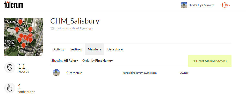 Is there an organizational account for Fulcrum?Not really. An organization can have a single account, but that account needs to be associated with a single email address. So the user name and password would then need to be shared with anyone in the organization. This isn’t the way Fulcrum is set up to work and they prefer users not do this. A better way is to create an account and add users to your organization.The exception to this is Fulcrum Community This is a version of Fulcrum for use in humanitarian relief and disaster situations. You need to apply for a Community license. If granted you can invite any number of data collectors via their email address and they don't have to have accounts. The Community license is free and lasts one year. We used this in Miami last fall and the project is features on the Community flood page (Post-Irma Environment Reporting)!When does Fulcrum record the point? The point is taken when you click "Save". You may have backed up to take a photo. However, when you are ready to save the record, you should have your device as close to the object you want to map as possible.Why do I end up with two datasets from Fulcrum?Photos you take with your mobile device are geotagged. When you download your data from your Fulcrum account you may end up with two datasets. One is based on your data collection app. The other is based on the coordinates embedded in the photos you took. For example, if you backed up to take a photo of a bench and then saved your point standing over the bench, you will be able to see both where the photo was taken and where the bench is located.How accurate are the points collected with my mobile device?There are a number of things that can affect data accuracy such as the quality of the GPS receiver, current satellite configuration, limited sky view, proximity to large buildings, tree cover etc. There is a two part blog post about this you can read here.One thing to keep in mind is that when you are using Fulcrum to collect field data, the point is taken when you click "Save". You may have backed up to take a photo. However, when you are ready to save the record you should have your device as close to the object you are mapping as possible. It is also possible to edit and correct point locations after the fact via Fulcrum, Carto or QGIS.Is my data secure on QGIS?QGIS is simply a piece of desktop software, not a platform for data storage. With QGIS you can map and analyze your spatial data. Data security has more to do with the security of your computer network and your system for backing data up. QGIS has no more bearing on data security than any other piece of desktop software such as ArcGIS or Microsoft Excel.Does Fulcrum have HIPAA compliant security?No. Fulcrum does employ 256-bit SSL connections to keep data safe as it travels to and from your cloud account. As they say, this is the same level of security provided by online banking and e-commerce sites. However, The HIPAA Security Rule requires implementation of three types of safeguards: 1) administrative, 2) physical and 3) technical. So Fulcrum is not HIPAA compliant. However, if they hear from enough users that this is a crucial feature they will likely work on it!What is open source?It is both a software license and a way to create software. There are two main types of software licenses: proprietary and open source. Proprietary licenses tend to restrict your usage of the software in some way:
- number of computers you can install the software on
- the number of features available
- the time period you can use the software (e.g., a year)
On the other hand open sources licenses tend to grant users rights and freedoms around using the software. For example with QGIS, the license grants you the freedom to install the software on any number of computers and access to all the features forever. The software also has no monetary cost, it’s free.Open source is also a software development strategy. The developers work in an open and collaborative way. Many developers feel this is a more efficient way to create software. In an open source project all the source code is available. This last point may not be a hugely important consideration for many. However, access to the source code means that if you have the capability, you can study how the software works and improve it. Because of this feature open source software is not a “black box.” Additionally, even if you cannot program a new feature yourself, you can hire someone who can. Since you are not paying any licensing fees this is often a very viable option.
If you have any other questions about Community Health Maps email them to Kurt Menke and he will try to answer them and add them to this post!