By Jenny Rewolinski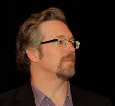 The following is a question and answer interview with the moderator of the with Community Health Maps (CHM) blog, Kurt Menke, GISP (Certified geographic information systems (GIS) professional). Kurt has worked with CHM since its inception in 2014 and is a valuable resource for users of CHM.What is your background? Kurt: I started out as an archaeologist. I spent 8 years in the desert southwest working on Anasazi pueblo archaeology. I went on to receive a Masters in Geography from the University of New Mexico in 2000. While in graduate school I began working at the UNM’s Earth Data Analysis Center (EDAC). That's where I really learned about GIS. I worked there for 11 years as a GIS Analyst/Programmer.When did you being using open source GIS?It was at EDAC, about 15 years ago, when I was first exposed to open source mapping software. We began using Mapserver for web mapping applications, because it was faster and more stable than the Esri alternative. I realized there was a whole ecosystem of open source tools out there.How did you first come to work with NLM?Kurt: John Scott, President of the Center for Public Service Communications and I have collaborated on health related projects with NLM for over 10 years. We first met while I was working at EDAC on a project with the National Indian Council on Aging (NICOA). I had developed an app named the Interactive Health Atlas. That project eventually ended and I left the university to create my business Bird’s Eye View. John thought we should take the best parts of the NICOA project to the National Library of Medicine (NLM). It evolved into what we called the Health Equity Atlas. This was custom software we developed, which was really time consuming. It worked great, but wasn’t widely adopted. We learned a valuable lesson, for something like this to be successful, it needs to be something organizations are asking for. No matter how useful it may be, if people don't have time for it, it will just sit on the shelf.How did CHM begin?Kurt: In 2012, John asked me to look at existing smart phone apps. His idea was, rather than developing a completely new application, we could use existing low cost software. Plus we would work with organizations who had mapping as a defined need. I ended up completing a thorough survey of smartphone data collection tools and some of them were perfect. I identified what I thought were the two or three best. We realized we could stitch together a series of low cost intuitive tools that collectively address everyone’s mapping needs.We settled on Fulcrum, QGIS, and Carto as our core CHM workflow tools. We started with pilot projects at the University of Hawaii and the Urban Indian Health Institute in Seattle. Showing people how to use these tools via a train-the-trainer approach ended up working really well.You are a QGIS expert. When did you first begin using QGIS?Kurt: QGIS was started in 2002 and I began playing with it in 2005. I just discovered it from
 a listserv. At first it was very limited, being little more than a data viewer. But I was really curious to see how it might evolve, so I started following it. It really started becoming a useful alternative in 2010. I gradually migrated to it with my business. I also started teaching GIS classes with it. I used to keep a list of things you could do with ArcGIS that you couldn't in QGIS. Now it's come so far that I have a list of things you can do in QGIS that you can't in ArcGIS!How has CHM evolved?Kurt: Once we realized we had something that would be useful to people, we began looking for partner organizations. These are organizations who work with data and can benefit from mapping, but lack the resources to get started. We conduct workshops and webinars to get people started down the mapping path.Along the way I thought a blog would be a really helpful tool to keep people up to date with new technology. These tools are constantly improving and I thought this would be a way to share these enhancements with everyone. Later we realized we needed additional resources for people to continue to build their skills after the initial workshops. I developed a series of six labs covering the mapping tools in more detail. These labs were inspired from a separate project I worked on called the GeoAcademy. This is a complete college curriculum for teaching GIS using open source tools. It even won an award!
![]() Our primary goal for CHM has always been to provide tools that are helpful to users. After years of trying to build something from scratch, we are now finally gaining some traction with CHM. It feels like a snowball, rolling downhill and gaining speed. I believe it is both because the tools are powerful and intuitive, plus we are getting better at identifying potential users.Would you recount one experience with CHM that felt especially influential for CHM’s progress so far? Kurt: Yes the first thing that comes to mind is the work with the Medical University of
Our primary goal for CHM has always been to provide tools that are helpful to users. After years of trying to build something from scratch, we are now finally gaining some traction with CHM. It feels like a snowball, rolling downhill and gaining speed. I believe it is both because the tools are powerful and intuitive, plus we are getting better at identifying potential users.Would you recount one experience with CHM that felt especially influential for CHM’s progress so far? Kurt: Yes the first thing that comes to mind is the work with the Medical University of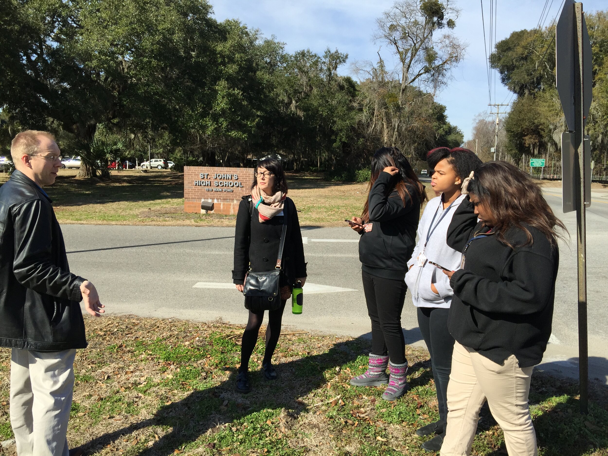 South Carolina (MUSC). In early 2015 I taught a CHM workshop to 8 people. The training went well. No one in attendance had ever worked with any type of mapping software before. Yet I was able to show them how to make a data collection form, collect points, and map the data in Carto. The next day I went to a high school on John’s Island and taught several students over their lunch break how to collect data. They picked up on it immediately and spent the semester mapping food and water locations on the island.Months later, the MUSC participants were so excited by the possibilities that they asked me to come back. This second training had 25 people. Later that year we came back for a third workshop, and 80 people from across MUSC attended! That I could show such a large group, how to work with these tools in a half day was a real proof of concept!
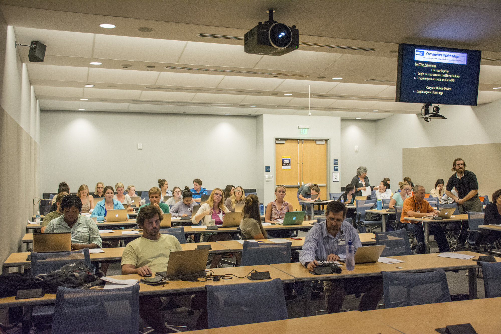 Several projects were inspired these MUSC workshops. Of particular note is Dr. Bryan Heckman’s smoking cessation research project. I must point out that Dr. Deb Williamson and Dana Burshell worked to organize and plan the MUSC trainings and deserve most of the credit for the turnout.Our successful trainings with MUSC have served as a model for teaching bigger groups such as those at the CHM Symposium at the National Library of Medicine in June, 2016 and recent trainings in Seattle.
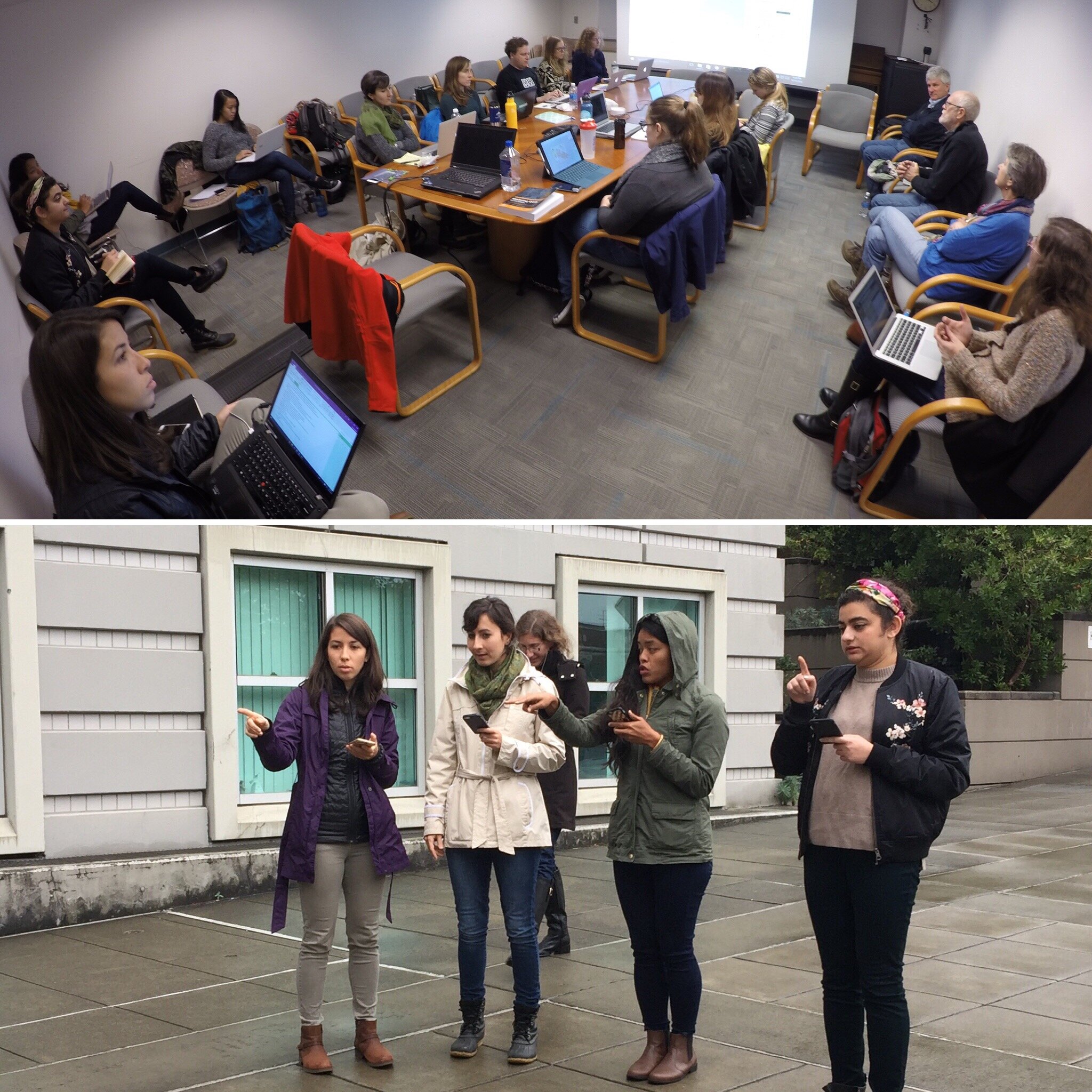 The most gratifying aspect of these workshops was seeing people shed their technological insecurities. It’s common for people to show up and admit they’re scared of the technology. To then see in a few short hours, they are getting it all to work, and actually getting excited about the possibilities, is a beautiful thing. What are your plans for the future of CHM? Kurt: The work that people are doing right now with CHM barely scratches the surface in terms of the potential. I would like to get more community members involved. I envision a scenario where there is an organization can really engage with citizens to map the community. The data could be managed by a central data manager in the organization. It would be such a great way to involve the community in a project directly related to their healthcare.I’d also like to see someone get past the initial data gathering and map making phase. QGIS has a lot of spatial analysis capabilities. I’d like to see someone push beyond the CHM labs and do some interesting analyses in QGIS or use some of the cool data visualization techniques in Carto.What advice you would give to new CHM users?Kurt: Don’t be afraid to dive in and use the tools. Be adventurous and creative with your projects. Don’t be afraid to mess up. That’s how you learn. There is no limit to the kinds of things you can accomplish with mapping and spatial analysis tools. If you can imagine it, it can be done.